
CASE STUDY
CASE STUDY
PROJECT BRIEF
Streamflow is a critical metric of river, watershed, or ecosystem health, but the high cost of equipment and time required to measure streamflow to date has limited most data collection efforts to the largest streams. In collaboration with National Geographic, USGS, and the EPA, the Analytics Lab at CSP is developing an AI-based model to derive estimates of streamflow from camera trap images of river surfaces. This approach is resulting in a more cost-effective, time-efficient, and data rich alternative to monitoring, and has the potential to ‘unleash the floodgates’ for more expanded and incisive river and riparian monitoring efforts across the country.
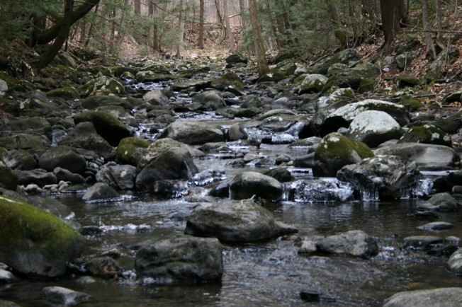
Photo by Ben Letcher USGS
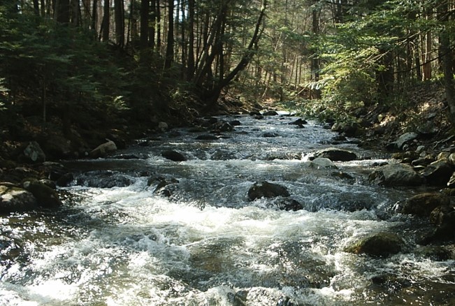
Photo by Ben Letcher USGS
PROJECT DESCRIPTION
Streamflow is a critical metric of the ecological health of river systems and riparian areas, impacting species composition and vegetation. Monitoring of flow regimes is key for understanding the availability of water resources, measuring impacts from human environmental modification (e.g., dams, reservoirs), and understanding river or ecosystem health. However, the high cost of stream gage installation means that data is disproportionately low for small to midsize streams.
One solution to broadening the diversity of rivers and streams with regular flow data is deriving streamflow from camera trap images analyzed through a streamflow-specific artificial intelligence model. Camera traps are easier and more cost-effective to install than stream gages–we hope that with more camera traps installed along riparian corridors and the right AI model in place, we could soon have access to a wealth of streamflow data and knowledge of smaller streams and rivers previously too cost- and time-prohibitive to collect.
The Analytics Lab is developing and training an AI model based on thousands of stream images to estimate streamflow in the Northeast, and will present results in a dynamic, front-end web portal. This web portal will be made available to water resource managers and stakeholders to provide: streamflow data at new levels of granularity, an upload system for new images they want to share, an ‘alert system’ for flood level flows.
Check out the Flow Photo Explorer (alpha) app.
KEY PARTNERS INCLUDE


Ben Letcher, USGS Ecologist